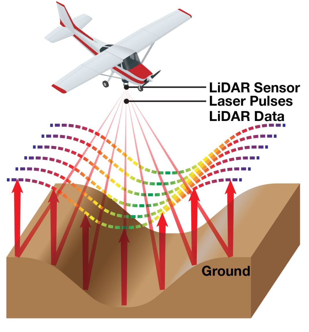
Light Detection And Ranging, or LiDAR, is a surveying method that measures distance to a target by scanning an area with a laser and measuring how long it takes the light to return to a sensor. This data can be used to make a 3-D map of an area.
LiDAR technology has improved since the last floodplain mapping effort in 2001. LiDAR data collected in 2018 provides 9 times greater details for development of hydraulic models and mapping of update floodplains.
